
Key Takeaways
- Líl̓wat Nation expanded its evacuation order at 2 a.m. Thursday — every area previously under alert is now under order.
- All three rivers have peaked and are falling: the Lillooet hit 1,040 cubic metres per second, and the Green River ran above its estimated 200-year flood level.
- Highway 99 is closed in both directions near Seymour Road, where a sinkhole is undermining the road.
"You must evacuate immediately"
The flooding around Pemberton escalated overnight into a full evacuation for the Líl̓wat Nation. In an expanded order effective at 2 a.m. on Thursday, the Nation's Chief and Council moved every area previously under an evacuation alert to an evacuation order: "All areas previously under alert are now under order," the notice reads. "You must evacuate immediately." No alert areas remain within the mapped boundaries. Evacuees are directed to the Úll̓us Community Complex in Mount Currie, with transport help available at 604-894-2535, and the Nation says no one should return until it authorizes re-entry.
It is the most serious escalation since an evacuation alert was expanded to cover the whole Pemberton Valley on Wednesday. The regional district's own evacuation alert for Electoral Area C and its Shelter in Place Advisory remain in effect, the Village of Pemberton's order for properties between 1674 and 2000 Airport Road stands, and the Squamish-Lillooet Regional District issued a new alert on Thursday for debris-flow risk at McCullock Creek, covering Lillooet Lake Estates and Heather Jean Properties.
The rivers have peaked — the roads have not recovered
There is one piece of relief in the Nation's evening update: all three rivers have crested and are falling. The Lillooet River peaked at 1,040 cubic metres per second at 1 p.m. Thursday, down to about 978 by late afternoon. The Green River peaked at 854, described as above the estimated 200-year flood level, and the Birkenhead peaked at 264, near record levels; both have since fallen sharply.
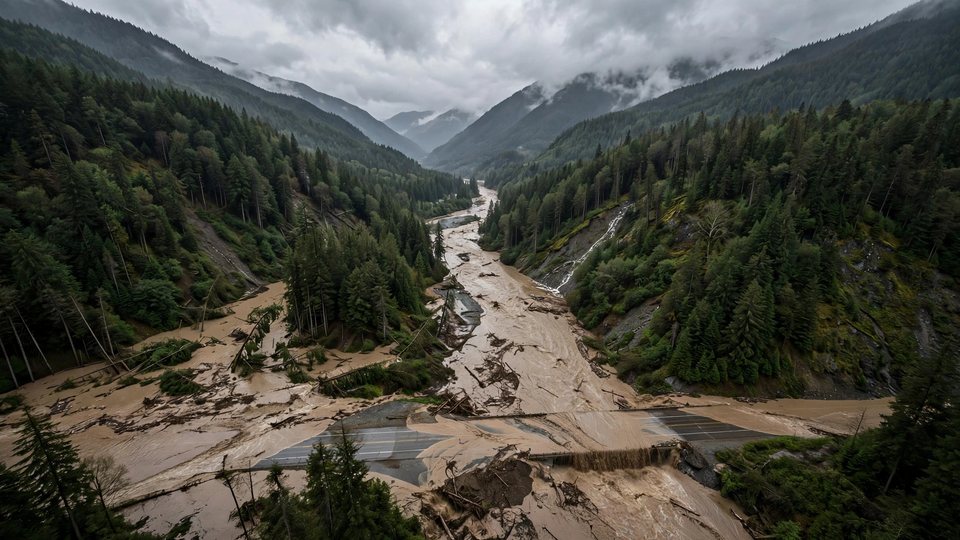
The roads are another matter. Highway 99 is closed in both directions near Seymour Road, where a sinkhole is undermining the road and crews are working on repairs. The Highway 99 / Lillooet Lake Road is closed from Rancheree Road to the avalanche gates west of Lillooet, with six inches to a foot of water flowing over sections of it. Pemberton Meadows Road remains impassable in places, two Bailey-bridge crossings in the Squamish valley are closed, and a landslide has been reported on the In-SHUCK-ch Forest Service Road. Damage assessments have not yet begun in earnest — officials say verified property counts are not yet available.
The Twikup Take
The water has done its worst and is receding; what remains is the slower emergency — a closed highway, a sinkhole, and hundreds of people waiting on a Friday-morning reassessment before they can go home. The peak readings tell the scale of what came through the valley: a 200-year flood level is not a figure officials reach for often.
Image: Illustrative image.