
Key Takeaways
- The SLRD has expanded its Evacuation Alert to all SLRD properties in the Pemberton Valley&residents under alert in Electoral Area C &the Village of Pemberton were told at midnight.
- The Pemberton Creek Bridge by One Mile Lake may overflow onto Highway 99,potentially cutting off road access south to Whistler with little warning.
- The BC River Forecast Centre has a Flood Warning in effect for the Pemberton Valley,with the Lillooet River at 180 m³/s & rising & another 30–70 mm of rain forecast for Pemberton.
An entire valley on alert, and a warning to stay put overnight
An atmospheric river has put the Pemberton Valley on alert. The Squamish-Lillooet Regional District has expanded its Evacuation Alert to cover all SLRD properties in the valley, on the recommendation of the Pemberton Valley Dyking District, and at midnight it told people already under alert in Electoral Area C and the Village of Pemberton to shelter in place if they can safely stay where they are.
The immediate worry is one bridge. The Dyking District warns the Pemberton Creek Bridge by One Mile Lake may overflow onto Highway 99, potentially cutting off road access south towards Whistler with little warning. Anyone who cannot remain in Pemberton if road access is lost — for medical needs or other circumstances — is urged to leave as soon as possible while the route is still safe and open, checking DriveBC right before travelling.
Rivers are still rising
The BC River Forecast Centre has a Flood Warning in effect for the Pemberton Valley, including the Lillooet River mainstem and its tributaries, and a separate Flood Warning covers Howe Sound, the Sea-to-Sky and the North Shore Mountains. A Flood Warning means river levels have exceeded their banks, or will very soon.
On Wednesday morning the Lillooet River near Pemberton was flowing at 180 cubic metres per second and rising, Pemberton Creek was running at a two-to-five-year flow, and forecasters expected another 30 to 70 millimetres of rain in Pemberton — and 70 to 130 millimetres at Meager Creek — with snowmelt adding to the runoff. Rivers have been rising rapidly since late Tuesday night and are expected to keep rising through Thursday.
What people there are being told to do
An Emergency Support Services reception centre opened at 1 a.m. at the Pemberton & District Community Centre for anyone who cannot safely stay at their property, and Lil'wat ESS is available at the Úll̓us Community Complex in Mount Currie. Everyone under alert is told to pack a grab-and-go bag with medication, documents, clothing, food, water and a phone charger, plan for pets and livestock, keep vehicles fuelled and parked away from streams, and wait for an Evacuation Order before evacuating. In immediate danger, the instruction is to call 911 — and never to walk or drive through floodwater.
The Twikup Take
An alert covering a whole valley, a shelter-in-place advisory at midnight and a single bridge standing between Pemberton and the highway south — this is the kind of night where conditions can change faster than the warnings. The next updates will come from the SLRD and the River Forecast Centre as Thursday's rain arrives.
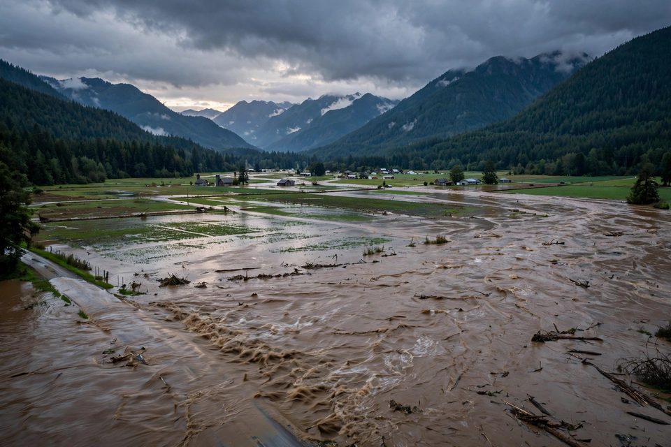
Image: Illustrative image.