
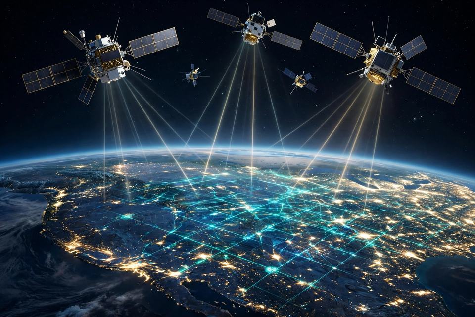
Key Takeaways
- GPS receivers calculate position by timing signals from at least four satellites and intersecting the distances — a technique called trilateration.
- The system runs on a baseline constellation of 24 satellites (31 are currently operational), maintained by the U.S. Space Force and free for civilian use worldwide.
- GPS.gov says smartphones are typically accurate within about 4.9 metres under open sky; buildings, trees and reflected signals are what usually throw a fix off.
Your Phone Knows Where You Are Because Satellites Know What Time It Is
GPS is a timing system disguised as a map. It is the system your phone uses to locate itself, and it works because a collection of extraordinarily accurate clocks flying about 20,200 kilometres overhead can announce both the time and their own position with astonishing precision.
Step 1: The clocks in space
Each satellite in the constellation — orbiting about 20,200 kilometres overhead, circling Earth twice a day — continuously broadcasts two things: exactly where it is, and exactly what time it is, stamped by atomic clocks on board.
Step 2: The timing trick
Your phone's receiver plays listener. It notes the instant each signal arrives and, knowing the signal travelled at the speed of light, converts the travel time into a distance: I am this far from that satellite. One signal puts you somewhere on a sphere. Two narrow it to a ring. With signals from at least four satellites, the spheres intersect at a single point — your three-dimensional position — and the fourth signal also lets the receiver solve for its own clock error, since a phone's clock is nowhere near atomic-grade. The technique is called trilateration: distances, not angles.
Step 3: Why one microsecond matters
Position here is just time multiplied by the speed of light, so a timing error of one microsecond becomes roughly 300 metres of position error. Two things keep the system honest. First, the satellites carry atomic clocks, and a ground control segment — monitor stations run by the U.S. Space Force, which operates GPS — tracks every satellite, adjusts its clocks and uploads fresh navigational data. Second, engineers correct for Einstein: orbiting clocks experience weaker gravity (which makes them run faster) and high speed (which slows them), netting a drift of roughly 38 microseconds a day against Earth clocks. Uncorrected, that alone would rot positions by kilometres daily.
Step 4: How accurate is it, really?
GPS.gov's current guidance: smartphones are typically accurate to within a 4.9-metre (16-foot) radius under open sky. The government's actual signal commitment is far tighter — a user range error under 2 metres, 95% of the time — and professional receivers using two frequencies plus augmentation systems like the FAA's WAAS, which broadcasts corrections from ground reference stations, can reach a few centimetres in real time.
Step 5: Why your blue dot goes rogue
When your blue dot misbehaves downtown, GPS.gov's list of culprits is mundane: buildings, bridges and trees blocking signals; signals bouncing off walls ("multipath"); indoor or underground use — and, often, the map software rather than GPS itself.
Step 6: A public utility in orbit
The constellation behind it all is a baseline of 24 satellites in six orbital planes, arranged so at least four are visible from virtually anywhere on Earth; the Space Force currently flies 31 operational satellites, and the civilian service is free to everyone, worldwide.
The Twikup Take
The most precise machine most of us will ever use is one we never see: atomic clocks in orbit, a military control room correcting them, and Einstein's equations folded into the settings — all so a phone can announce "you have arrived." GPS isn't a map feature. It's a public utility made of time itself.
Image: AI-generated illustration.