
Key Takeaways
- The Canadian Space Agency's National Earth Observation Forum runs from October 26 to 28, 2026, in Longueuil, Quebec, with virtual participation.
- Discussions focus on Canada's Earth observation framework, scientific innovation, collaboration and current or upcoming investments.
- The forum brings together representatives from government, industry, academia and Indigenous communities to discuss the future of satellite-based observation.
Canada Brings Earth Observation Experts Together
Canada's satellite research community is gathering in Quebec this week to discuss how Earth observation technology can support scientific discovery, public decision-making and future innovation.
The Canadian Space Agency's 2026 National Earth Observation Forum runs from October 26 to 28 at the John H. Chapman Space Centre in Longueuil, Quebec, with virtual participation also available. The event brings together representatives from government, industry, academia and Indigenous communities to review Canada's current activities and discuss next steps for satellite Earth observation.
What the Forum Aims to Achieve
According to the Canadian Space Agency, the forum is designed to update participants on Canada's Earth observation framework, identify opportunities for collaboration in Canada and internationally, and discuss current and upcoming investments and activities.
The programme includes plenary sessions and thematic seminars. These discussions provide a platform for different sectors to exchange perspectives on how satellite data and related scientific capabilities can serve national priorities.
The previous National Earth Observation Forum, held in May 2024, welcomed more than 280 participants from federal and provincial departments, Indigenous communities, universities and industry. The new gathering continues that effort to connect organisations working across Canada's Earth observation ecosystem.
Why Satellite Earth Observation Matters
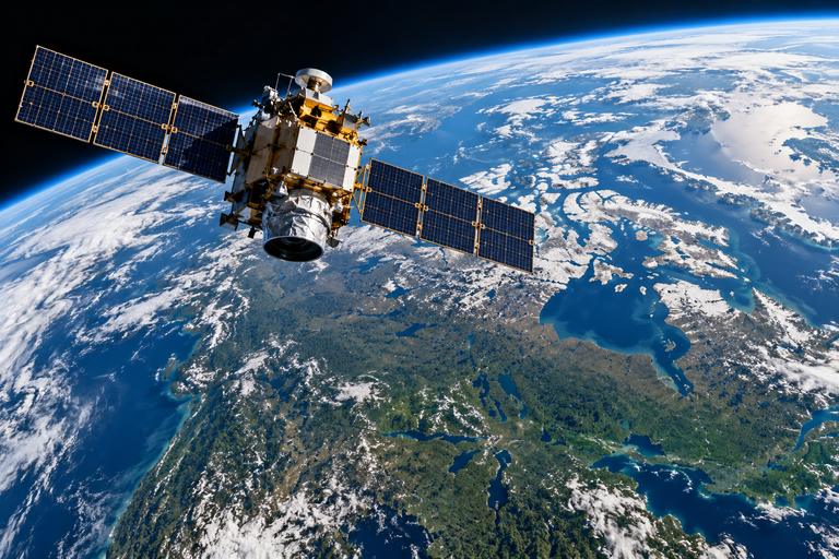
Earth observation uses satellites and other technologies to collect information about the planet's land, oceans, atmosphere and changing environment. The resulting data can help researchers track environmental conditions, study natural hazards, monitor changes across remote regions and improve understanding of Canada's vast territory.
Satellite information can also support public agencies, researchers and businesses that need reliable observations to plan activities and assess environmental changes. Turning that information into useful services requires scientific expertise, dependable infrastructure and cooperation among organisations.
TwikUp's Perspective
The forum's significance lies in connecting people who collect Earth observation data with those who use it. Stronger coordination can help research findings reach decision-makers and communities more effectively.
However, the meeting's announced objectives should not be confused with completed policy decisions or new funding commitments. Its longer-term value will depend on whether discussions lead to practical partnerships, accessible data and measurable improvements in how Canada uses satellite observations.